popular3D scanning method

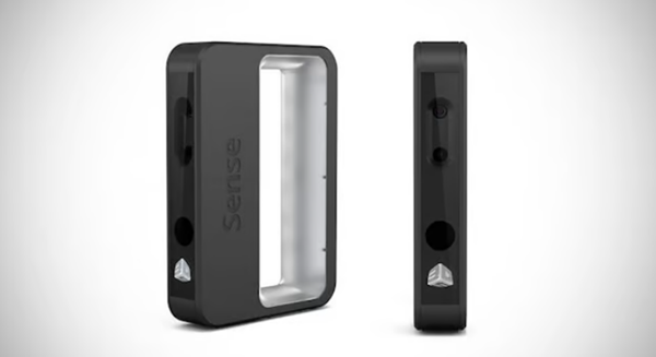
Sense3D from 3D Systems is a portable infrared scanner. Source: 3D Systems
There are many ways to 3D scan objects. The best method generally depends on your budget and the object you want to scan.
3D scanners typically use one of three methods:
infrared scannerUse infrared or“Structured light” for scanning objects. The camera detects the distortion of light hitting an object’s surface to determine the object’s dimensions.
photogrammetryUse photos to triangulate distance and depth and use this data to generate3D scanning. Quality depends on the photo and camera used.
lidarReflecting laser light off an object to measure distance and depth creates3D scanning.
In this article we will focus on lidar3D Scan, discover how it works, comparison with the two other main technologies, areas of application and some case studies.
Principle of operation

Lidar image of a ship in the South Pacific. source:Sanborn Total Geospatial Solutions
LiDAR works on essentially the same principle as radar, with the main difference being that LiDAR uses a laser beam rather than a microwave energy source. The speed of light is a known constant, so the distance between the sensor and the object can be measured by the time it takes for a laser pulse to bounce off the object and be received by the lidar sensor. This allows lidar to be used as“Rangefinder” that determines the height or geometry of the surface with very detailed information.
Lidar and infrared

Use infraredScan with the ATLAS 3D scanner. Source: Murobo LLC/Kickstarter
Infrared scanners are common and relatively inexpensive, but unlike lidar, they are not well suited to large areas or structures. Cost and accuracy are the main factors to consider when choosing which scanner to use.
Although you could technically scan the chair using an expensive lidar system, it would not be practical or necessary for a project like this. LiDAR is very expensive and precise, and is best suited for scanning large areas or structures, such as buildings.
Lidar and photogrammetry

Photogrammetric model of the side entrance to the Community College of Philadelphia. source:Pete Aaslestad/Aaslestad.com
Photogrammetry uses multiple photos to triangulate points to create a more precise scan than infrared, but still not as precise as lidar.
Photogrammetry is a great option if you already have high-resolution camera equipment or don’t need the added performance and expense of a lidar system. If your project involves scanning several kilometers of area or large buildings, you may still want to consider LiDAR.
Practical application

Lidar image of Washington, DC. source:USGS.gov
LiDAR is typically used for surveying and niche applications, but it can also be used to map areas and structures.3D printing scanning. Although lidar is the most accurate, it is also very expensive, so companies offering lidar technology often do not list prices on their promotional materials and websites.
For small or low-budget projects, lidar is simply not practical due to its cost. Despite cost concerns, LiDAR remains the preferred choice for large-scale projects, such as mapping floodplains and buildings. It can also be used to solve certain niches3D scanning needs such as “autonomous” cars and robots.
Case study: astronomy and space exploration

ApolloA map of the lunar surface scanned by LiDAR n°15. Source: NASA
Of theIn 1971, NASA launched a Saturn V rocket as the first stage of the Apollo 15 moon landing mission. It was the first mission to use lidar technology.
Lidar has been used to map the lunar surface from orbit with a level of detail unmatched by other instruments. Lidar has also been used to map the surface topography of Mars and Earth, and to measure distances between planets, such as the distance between Earth and Mars.
Case study: Environmental protection and exploration

Lidar image of the 2014 King Fire in the El Dorado National Forest. Source: NASA
LiDAR was used to determineDamage from the 2014 “fire” in California’s El Dorado National Forest. This helps answer questions about the severity and extent of losses efficiently and accurately. Because lidar can map large areas, it helps us understand our environment.
For example, lidar can be used to determine which areas are likely to be affected by disasters such as floods in the future. asAs is the case with King’s Fire, it can also be used to estimate damage from a natural disaster and determine where to focus recovery efforts. Lidar can be used not only to map cities, but also to find lost cities by detecting structures under the dense forest/jungle canopy. A project has discovered a lost city in Mexico with as many buildings as Manhattan!
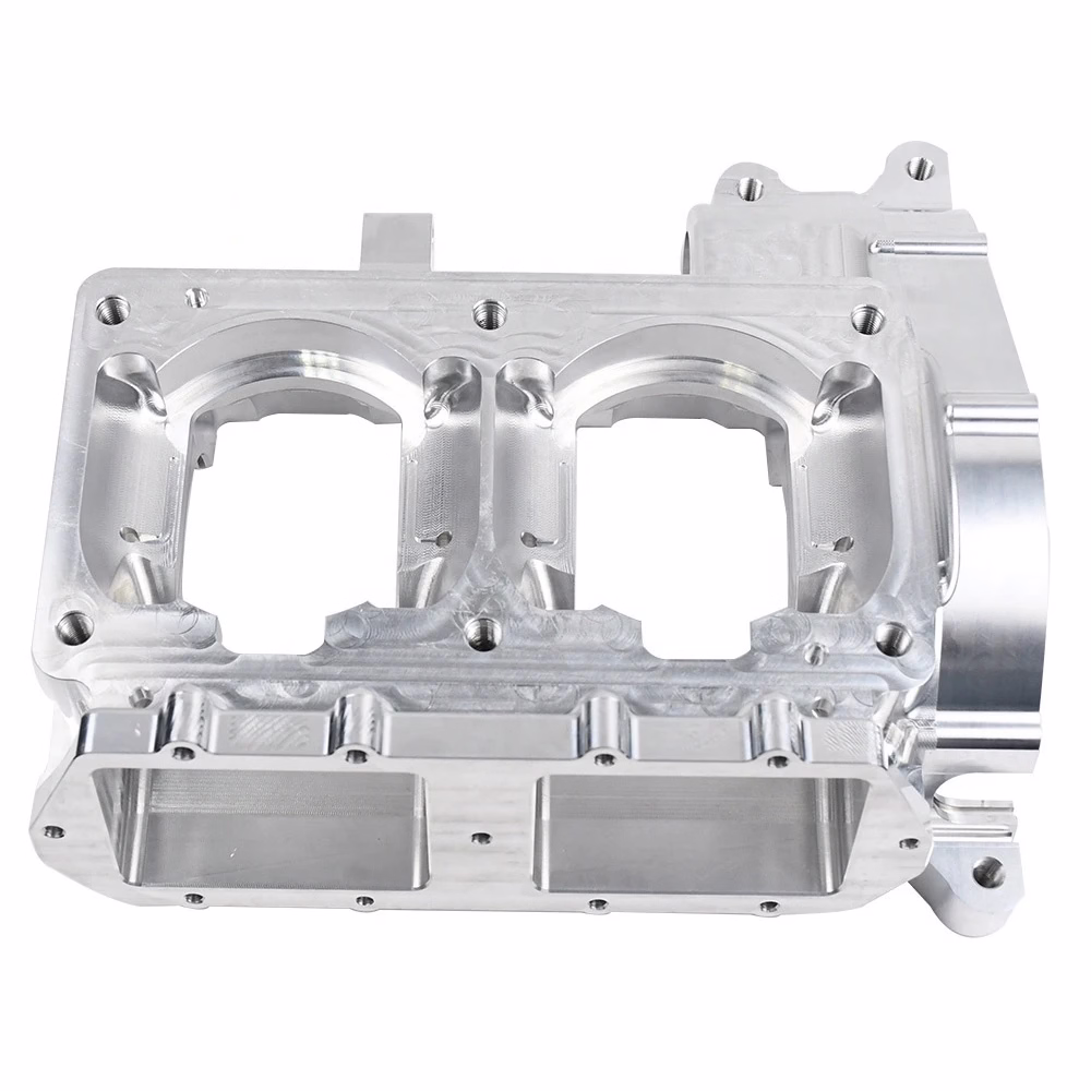
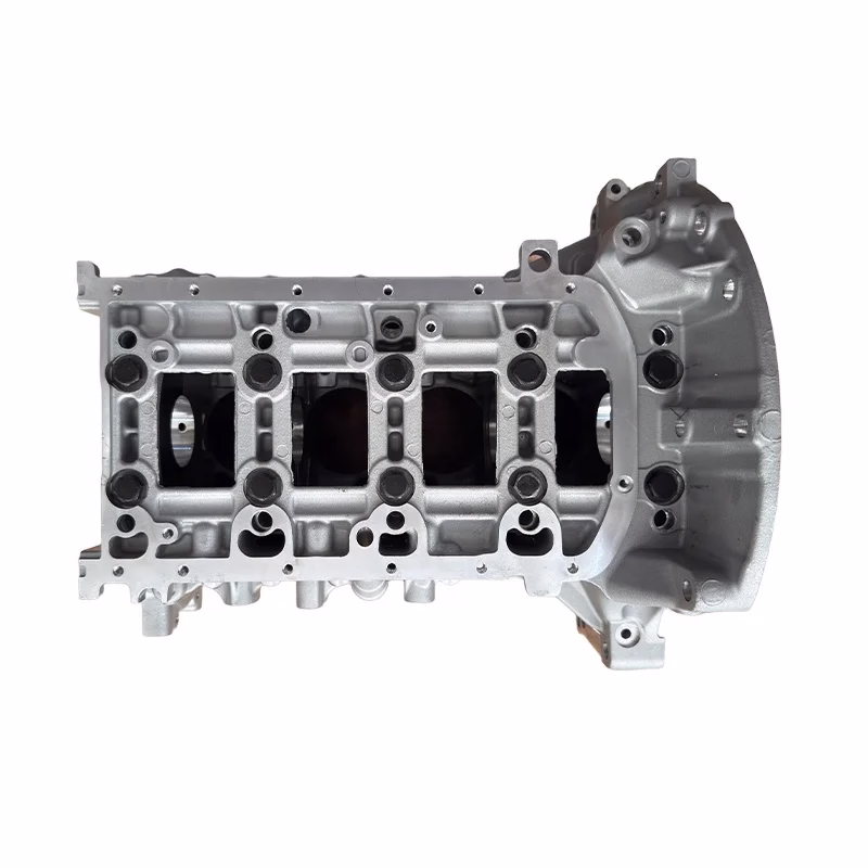
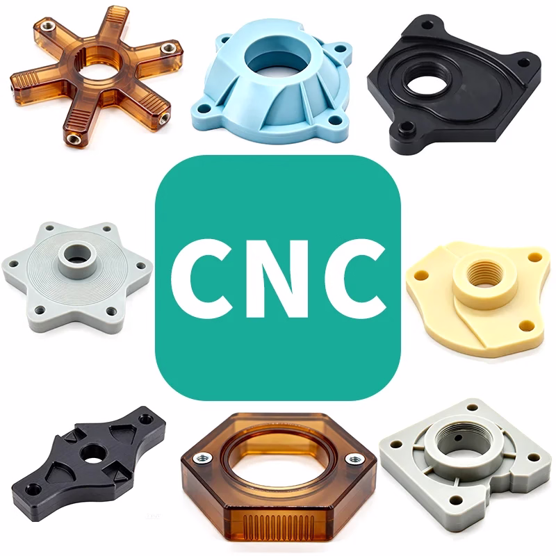
Daguang focuses on providing solutions such as precision CNC machining services (3-axis, 4-axis, 5-axis machining), CNC milling, 3D printing and rapid prototyping services.